Geomagnetic prospection


Buried archaeological remains like walls or completely filled-in ditches may be detected by scanning the earth magnetic field at the surface, if the susceptibility of these intrusions differs from that of the surrounding soil or rock. Measurements of the local field intensities with a precision of about 0.5 nT are needed for such archaeometric prospection searches. With a Cs-magnetometer (G-858 Magmapper, Geometrics, Inc.) on loan from the Institut für Vor- und Frühgeschichte, University Bonn, first tests have been executed to check the performance of this instrument and to get accustomed to the field work.


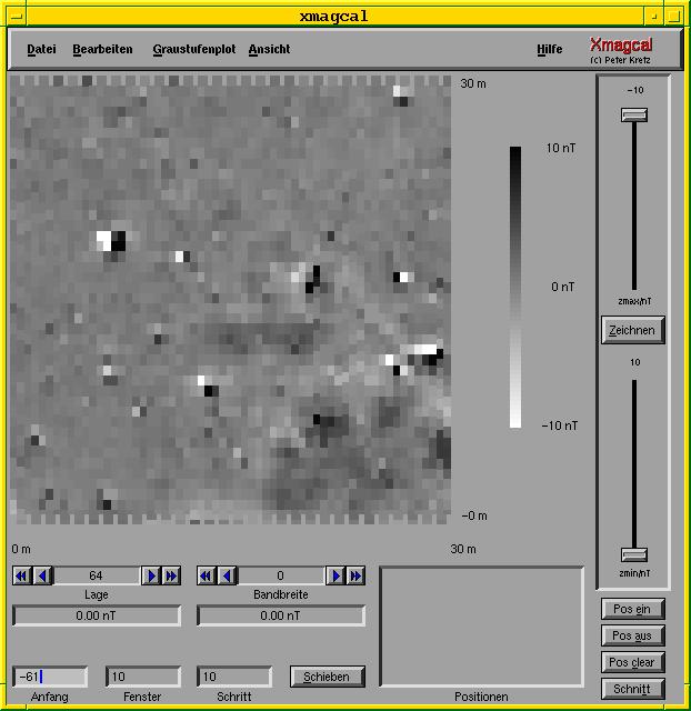
Here you can see a screenshot of the program Xmagcal, which is used to position the magnetic data and to display the results in a greyscale plot. It's part of a diploma theses written by Peter Kretz: Aufbau eines Systems zur archäomagnetischen Prospektion

The position error and the heading error have been corrected with Xmagcal.


It was compiled with gcc 2.7.1 under linux kernel 2.0.29 on 100 MHz Pentium.
It's an X11R6 application using the Forms library ( also known as XForms, a GUI Toolkit for X ).


If you have comments, suggestions or questions: project now closed, sorry


Back to XRAYS-Welcome-Page


This page created with Netscape Navigator Gold